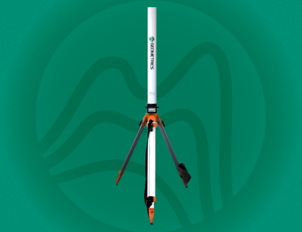
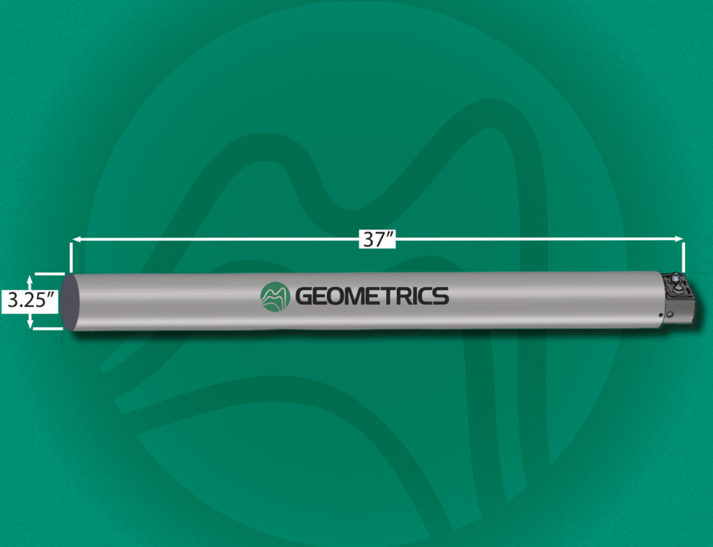
This self-contained system includes an integrated GPS, onboard data storage, and a built-in wireless access point—offering a streamlined user experience. To enhance the user experience even further, the MagStation operates seamlessly with MagNav, their intuitive user interface software. MagNav is compatible with most standard Android devices and enables real-time magnetic field visualization.
Designed to integrate effortlessly with other Geometrics magnetometers, the MagStation ensures synchronized data collection across systems. Its precise, time-aligned recordings— accurate to within 1 ms—allow for effective correction of both diurnal magnetic variations and higher-frequency disturbances due to spherics.
The MagStation’s sensor is exceptionally stable and does not require periodic factory recalibration or adjustment, minimizing maintenance while maximizing data integrity.
Features and benefits
- Quick Deployment – Compact and lightweight, with integrated GPS, onboard data storage, and built-in Wi-Fi enables rapid setup in the field.
- Adjustable Sampling Rate – Samples at rates allowing for the capture and removal of noise from geomagnetic storms and space weather events.
- Low Power Consumption – Will run for days with 12V car battery
- Wirelessly Controlled – Operate and monitor the system wirelessly through MagNav, a dedicated app that runs on Android devices.
- All-Weather Performance – Engineered to perform in extreme conditions
- Duplicate Sensors – Redundant sensors for increased data reliability.
Typical Uses
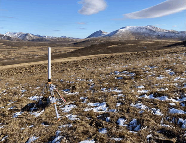
The MagStation Magnetometer Base Station is well-suited for applications that require stationary monitoring of the total magnetic field.
- Archaeology
- Environmental Survey
- Geologic Mapping
- Mineral Exploration
For more information see www.geometrics.com